Porter Chalice Sword crossed with Crucifix.
Unregistered
|
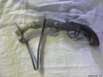
Strange compass/sextant
Unregistered
|
What is it
Unregistered
|
Firefighters Certificate 1917
Ladybug
|
|
|
|
|
|
|
Posted By
|
Views
|
Date Posted
|
|
Unregistered
|
15669
|
December 13, 1901
|
|
|
Price Paid
|
Condition
|
|
Free/Undisclosed/Unknown
|
Fair
|
|
|
|

|
|
Description:
|
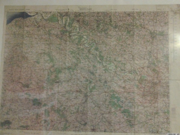
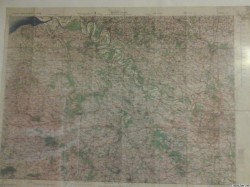
30x24 inches, material is thin canvas (not paper), dated June 1943, titled Rouen-Paris, marked North West Europe 1:250,000, more information on map: Geographical Section, General Staff No. 4042, Published by the War Office, 1938. 2nd Edition 1943.
Map has hand-traced (pencil) route towards "Buc". Sheet No. 7. Originally thought to be navigator's map. Map is creased from folding and has stain on upper right corner. Any confirmation about maps original purpose or any other information would be very helpful.
|
|
Keywords:
|
Rouen-Paris Map
|
|
|
|
|
|